First Alert Forecast: seasonable heat, big storms at home... areas to watch in the tropics
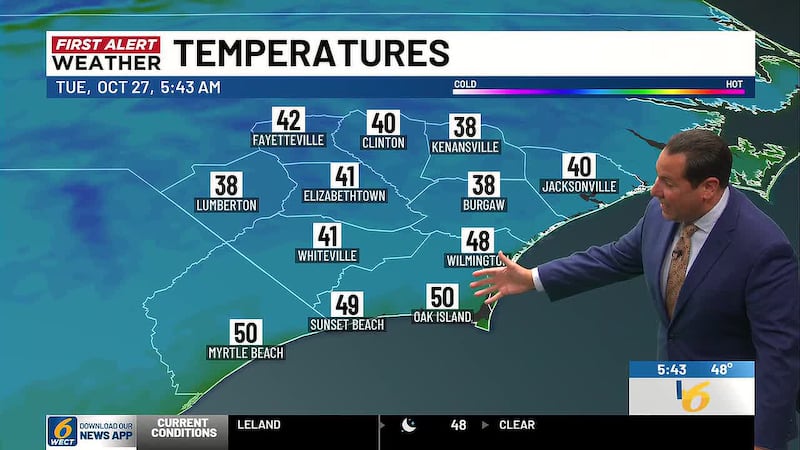
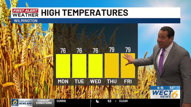
WILMINGTON, N.C. (WECT) - Tuesday and the rest of the week, like most of the summer, flirts with First Alert Weather Days. Heat won’t be as crazy as weeks past, at least, with daily high temps remaining in the 80s to near 90... and feels likes in the sweaty but reasonable 90s to near 100.
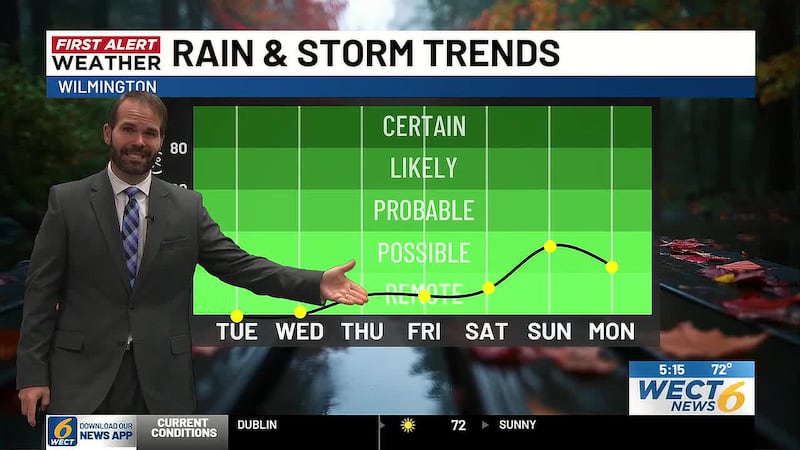
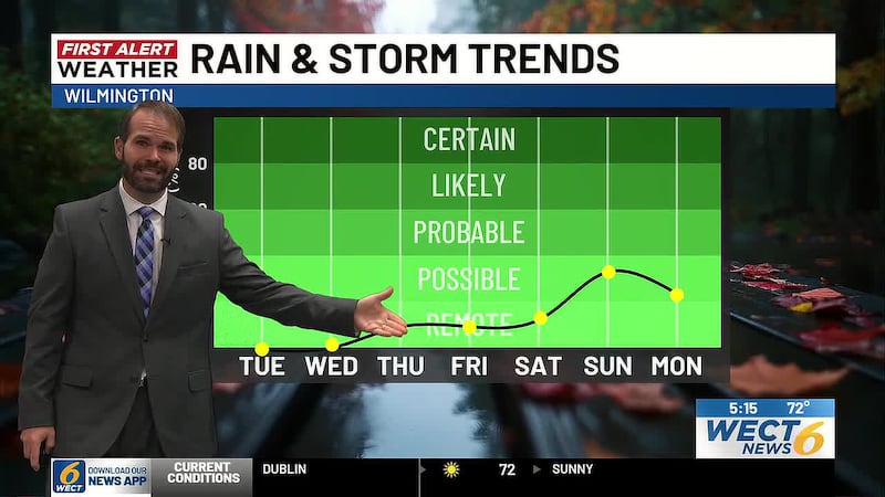
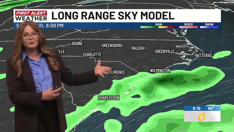
Locally strong summer storms could pulse up each day... afternoons mainly... with chances of 20% Tuesday, 30% Wednesday, 40% Thursday, and 50% Friday. Stay with your First Alert Weather Team for updates as the busy work and school week unfolds.
In the tropics... One potential storm development zone has a short window east of Bermuda and, farther south, a second broad potential storm development zone spans the central tropical Atlantic. The southern zone is the one of more North American interest, as anything that might get going here would likely track toward the Caribbean. No Carolina threats are definable at this time, which is a blessing to be able to say as we enter August’s final week. Dolly and Edouard are the next 2026 names.
Your full forecast: webpubcontent.gray.tv/wect/MAXSevendayWECT.jpg
Customize your First Alert Forecast experience with your WECT Weather App.
Copyright 2026 WECT. All rights reserved.