First Alert Forecast: gradual melting to continue as temps recover
Published: Feb. 2, 2026 at 4:09 AM EST|Updated: Feb. 2, 2026 at 11:42 PM EST
WILMINGTON, N.C. (WECT) - Cold snowpack aided in Wilmington’s sinking to a record of 15 degrees early Monday; the Port City’s previous Groundhog Day low is 17, set in 1980. If you can, continue to clear walkways, especially shaded ones, of ice and slush, as refreezing is probable with lows in the 10s to lower 20s Monday night.
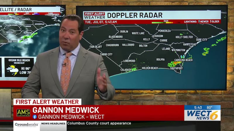
Up next: more melting is in your First Alert Forecast for Tuesday - with sunny highs in the 40s to around 50 - and Wednesday - with 40s to around 50 coming with a chance of rain showers.
See more in your extended forecast: webpubcontent.gray.tv/wect/MAXSevendayWECT.jpg
Customize your First Alert Forecast experience with your WECT Weather App.
Copyright 2026 WECT. All rights reserved.